Loading data to map...
Click the symbols to access the information:
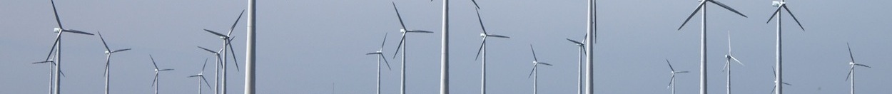
 Weather forecast from a high resolution WRF model. Information is shown as an interactive chart plotting a selection of variables.
The map can be expanded to full screen by clicking on the symbol  on the upper right corner. The map base layer can be changed from satellite to relieve with the layer selector
  on the upper right hand corner.
Zoom by using controls + - and slider on the upper left corner. You may also zoom by double-clicking on the map.